Clarification Regarding West Linn Operations Complex (Photo) - 04/13/26
WEST LINN, OR -- For immediate release -- Residents may have heard confusing information about the City’s new Operations Complex along Salamo Road. The City Manager and the City’s Public Works Director want to communicate important information regarding the site and project to provide residents clarity. City staff have and will continue to work closely with the project team that includes Skanska, Scott Edwards Architecture, HHPR, Coffman Excavation, and Klosh Group to develop this project. The design and plans for the Operations Center mark a yearslong effort to construct a safe, efficient, and enduring facility to better serve the needs of the City Water, Streets, Environmental Services, Fleet Maintenance, and Parks Maintenance Divisions.
Project History:
In 2017, West Linn’s Public Works Director reached out to the Oregon Department of Transportation (ODOT)’s Region 1 Policy and Development Manager regarding the possibility of ODOT selling the Salamo Road property to be used as a City Operations Facility. The City purchased the property in the summer of 2021, and as part of the due diligence of purchasing the property, the City contracted a professional geotechnical engineer, Najib Kalas, to review prior studies of the site and analyze the feasibility of building a new Operations Complex. The principal geotechnical engineer for this project, Najib Kalas, has over 23 years of experience in geotechnical engineering and is a licensed professional engineer.
Geotechnical Studies Confirm the Site is Safe to Build:
As part of the scope of work, Mr. Kalas and his team thoroughly reviewed geotechnical studies of the site from 1969, 2010, and 2013, and a memo from ODOT on the site from 1991. The geotechnical team then conducted their own field investigations in 2022, 2023, 2024, and 2025 to evaluate site conditions. The team took all of this information and used it to develop the design of the Operations Center in a manner that would intend to function during and after a seismic event, or other emergencies. To be abundantly clear, the Salamo-site has had repeated in-depth geotechnical studies, including both field and laboratory testing of the site and its materials by professional geotechnical engineers, to ensure that it is a safe site to locate the new Operations Center.
In particular, the Geotechnical Summary Letter, Operations Center Salamo Road and Greene Street, dated February 12, 2026 from a state-licensed geotechnical engineer, explains: “In summary, the project does not rely on potentially unstable soils for foundation support [emphasis added]. The major structures are founded on structural fill and rock, the historic landslide materials were previously removed, the new access roadway provides additional stabilization at the toe of the slope, and the remaining hillside will not be disturbed. Based on the investigation and analyses performed, the site is considered suitable for the proposed development [emphasis added]".
The geotechnical engineer, Najib Kalas will continue to provide support and expert guidance to the Public Works Department during construction.
Historical Context:
In 1969, during the construction of I-205, over-excavation and blasting triggered a man-made slide on the site. The slide caused damage to three houses on the site and a reservoir. The houses and reservoir were later demolished as part of adjusting the slope and stabilizing the impacted area. Following the slide a new reservoir, still visible on the side of Salamo Road, replaced the damaged reservoir in 1972.
Importantly, the February 12, 2026 letter from the geotechnical engineer notes: “Following the event, the State performed major corrective work. The landslide debris materials were reportedly excavated and removed across the site area, the ground surface was lowered significantly, and large engineered embankments were constructed to stabilize the hillside. The hillside visible today is therefore not the same slope that failed in the 1960s, it is a reconstructed and stabilized landform that has remained stable for decades [emphasis added].”
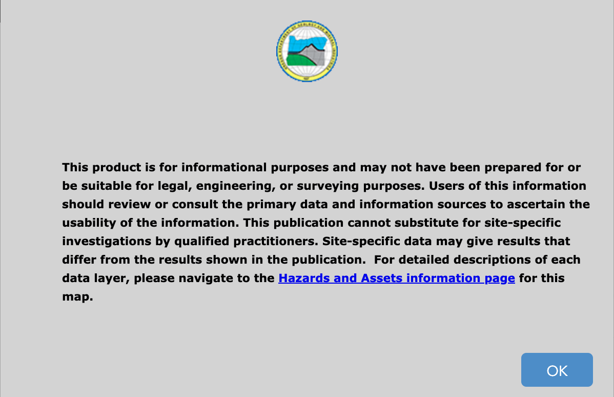
Residents may have seen a map which places the site in a hazard zone for landslides. This map includes a disclaimer, which comes from the Oregon Department of Geology and Mineral Industries (DOGAMI), which notes that site-specific data can differ from the maps, and their maps are for informational purposes, not engineering (see attached image or visit https://gis.dogami.oregon.gov/maps/hazvu/).
The City Public Works Department wants to reiterate that the safety and livability of West Linn is our top priority for residents, and we have taken a significant steps to ensure that our decision to build at the Salamo site is in the best interests of residents, including hiring the relevant licensed experts to access the site and guide our decision-making over the course of this project.
Learn More: To date there have been over fifteen public meetings regarding this project with more to come. To learn more about the project’s history and get answers to frequently asked questions visit the project page: https://yourwestlinn.com/wloc