First Storm Of 2020 Offers Good Reminder For Preparation (Photo) -01/09/20
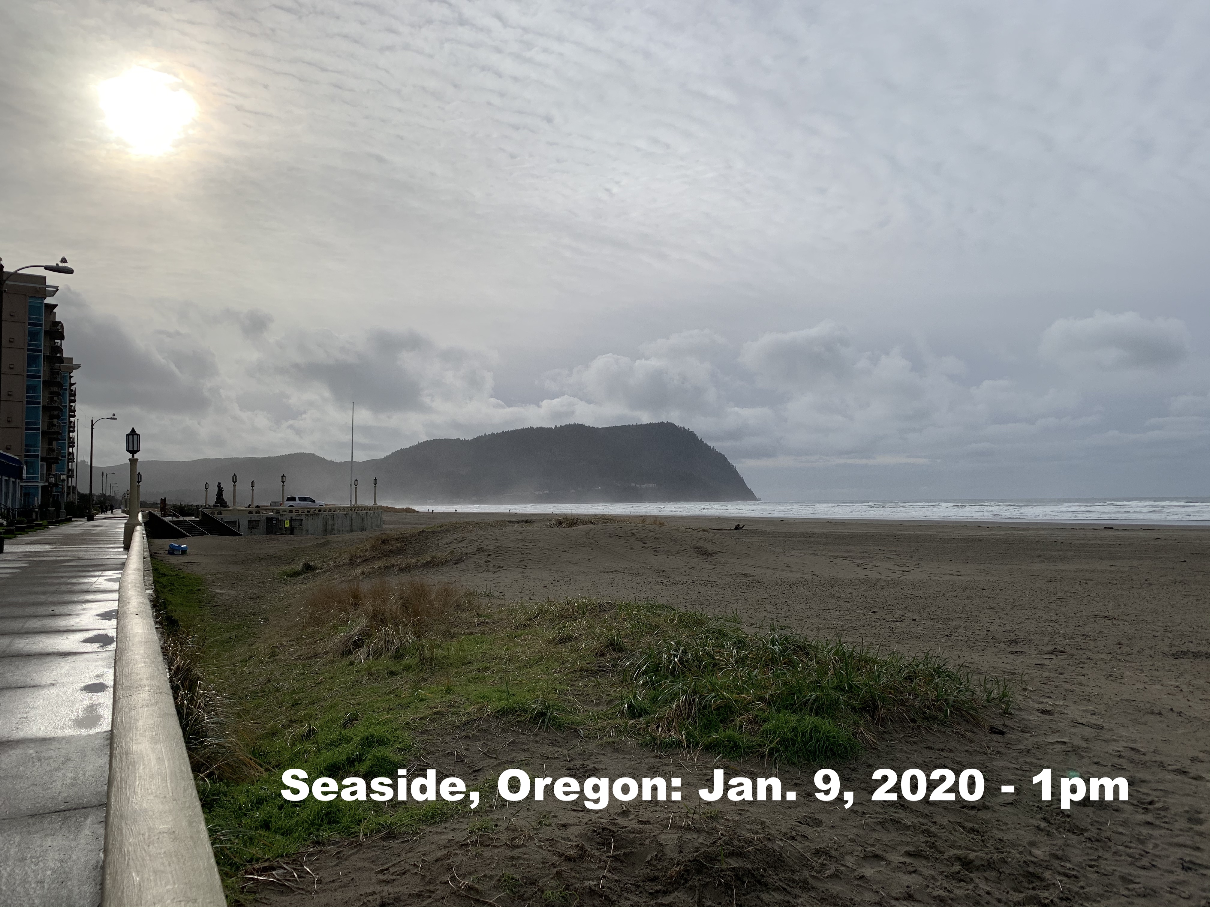
Seaside, Ore. – Thursday, January 9, 2020 – The first significant storm of 2020 will be making its way into Oregon this weekend and coupled with a set of King Tides that will begin late Friday morning, it’s a combination that offers great caution for residents and visitors alike.
“We’ve had a fairly light weather season so far when it comes to heavy winds and rains,” stated Jon Rahl, public information officer for the City of Seaside. “This event is one that our public safety team is watching closely, and we are encouraging those living or visiting the coastal areas this weekend to take those standard precautions that come with big storms.”
Strong winds are forecast to begin early Friday afternoon, with 50-60 mph gusts expected along the coast. These winds coincide with the highest tides of the weekend (occurring between noon to 2 p.m. on both Friday and Saturday) and will likely lead to flooding in low-lying areas and estuaries along the coast. With these key ingredients in mind, please use the following as a checklist to make sure you are storm ready:
- Watch for erosion along beaches and stay on the lookout for moving logs in all waterways, including the ocean shores, estuaries and Seaside Cove area where they can move rapidly and without warning, especially with the 20-30-foot waves expected this weekend.
- Storm watching can be incredibly fun. The King Tide series is a phenomenon in and of itself, but please remember to be mindful of your surroundings at all times. Headlands are also extremely vulnerable areas where extreme caution should be exercised at all times.
- The Promenade may be the only place to walk near ocean – especially during King Tides – because of fast-rising water. Stay off beaches if water is pushing towards the Prom Wall.
- Take the time now to check batteries in radios and flashlights in case of a power outage.
- Rely on flashlights, not candles, during power outages.
- Use caution with darkened traffic signals. Treat all non-functioning signals as four-way stop.
- Weakened trees and tree limbs could fall into roadways. Be vigilant if you have to travel.
- Report all downed lines to Pacific Power and local emergency outlet.
- Stay away from rivers and streams as they can fill rapidly and without much warning.
- Travel slowly through areas prone to water, especially Highway 101 near Circle Creek.
- Consider turning on geolocation features on your devices. If you try to communicate with others, including emergency responders, this can often be used to help locate you if needed.
**end of release**